Where is Congo; Location, Map, and Facts | Country Profile
Where is Congo? The Republic of Congo is located in the center of the African continent, according to the provided map. A map of the Republic of Congo also reveals that it shares borders with the Democratic Republic of the Congo to the east, the Central African Republic to the north, and Cameroon and Gabon to the west. Additionally, it has a tiny shoreline that opens up to the Atlantic Ocean. Other names for the nation include Little Congo, Congo-Brazzaville, and simply the Congo.
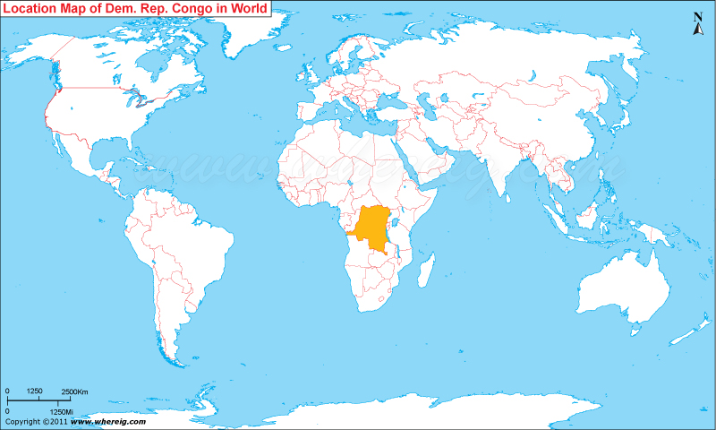
Location Map of Republic of the Congo
The republic was formerly a French colony. The Bantu tribes, who predominated the majority of the population, established trade routes into the Congo River basin. The country’s location on the equator means that it has an equatorial climate with little seasonal change. The average daytime temperature is still around 24°C (75°F), whereas the average nighttime temperature used to be around 16°C. The country’s economy is mostly dependent on agriculture and handicrafts, but it also has an industrial sector that is heavily reliant on petroleum.